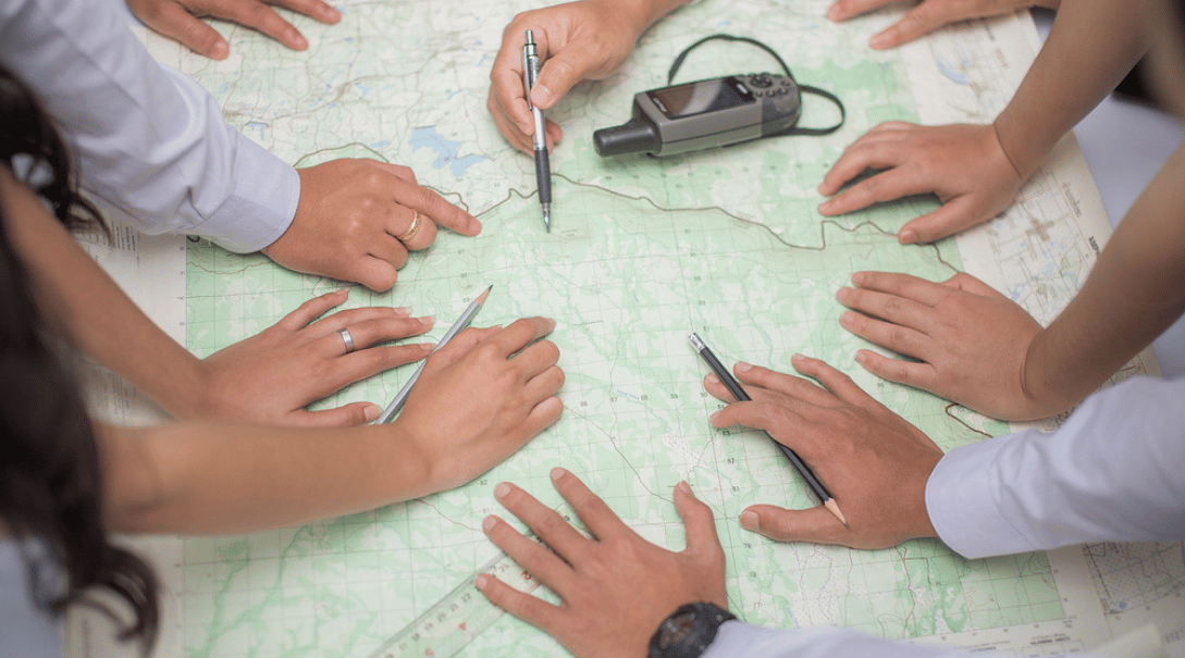
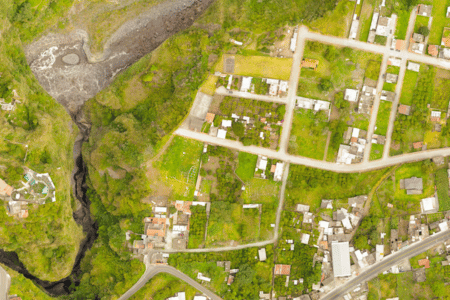
Geographic information system (GIS) mapping allows users to see how an area’s features interact over large distances, such as information on topography, climate, buildings, infrastructure, and plant life. A GIS provides a complete overview of a location rather than simply presenting boundary lines.
In Florida, GIS mapping provides indispensable data regarding erosion, water quality, locations of algae blooms, locations of endangered animals, and resource mining sites. In this article, we’ll explore some specific uses of GIS mapping in Florida, how accurate the process is, and where to find GIS mapping service providers.
Table of Contents
What Is GIS Mapping?
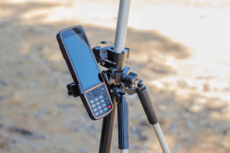
GIS mapping takes multiple data sources, such as satellite photographs, aerial imagery, on-site surveys, and GPS data, to create a complete view of a location, which may include street locations, sewer and plumbing paths, and migration tracking information. The data in a GIS is stored in vector and raster forms to create a three-dimensional model.
Such data can demonstrate where specific native species have been displaced or show users which roads experience frequent traffic jams. By seeing the complete consequences of a single construction project or natural disaster, legislators and other decision-makers can improve their management of future events.
Understanding the Basics of GIS Mapping
The origins of GIS mapping can be traced to the 1850s, with British physician John Snow’s cholera maps of London. These maps displayed a clear correlation between cholera spread and the locations of waterways. Snow’s maps were the genesis of not only GIS but also epidemiology.
Modern GIS mapping began in the early 1960s when Canadian geographer Roger Tomlinson championed using computers to process land data. Harvard’s Howard Fisher developed computer-based spatial mapmaking software in the same decade.
By the end of the 1960s, husband, and wife team Jack and Laura Dangermond of Harvard had established the Environmental Systems Research Institute (Esri). This firm would use computer mapping of geographical systems to give land resource managers and other planners more information to guide their decisions.
In the 1970s, the Harvard Laboratory for Computer Graphics’ Odyssey GIS software became a viable product thanks to advancements in consumer computing power.
Once the internet became widespread in the 1990s and personal computers were sufficiently powerful, the open-source revolution caused GIS to spread faster. Artificial intelligence, 3D analysis, and real-time enhanced reality continue to make GIS mapping more accurate and useful.
For a commonly used example of GIS mapping, look no further than Google Maps. While some experts don’t consider Google Maps a proper GIS map since it doesn’t consider all geographic features, it does display geospatial data like landmarks and topography.
GIS Mapping in Florida: A Closer Look
Events such as the South Florida GIS Expo in Palm Beach, the SHRUG Workshop in Tallahassee, and the Central Florida GIS Workshop provide opportunities for the GIS community to come together to collect and share information.
Florida organizations like the American Society for Photogrammetry and Remote Sensing (ASPRS)-Florida Region, the Central Florida GIS (CFGIS) Users Group, the Florida Surveying and Mapping Society, and the Gulf Coast GIS User Group all aim to use GIS mapping to solve issues facing the state and improve understanding of Florida’s specific needs.
Essential Florida GIS maps include:
Florida Conservation Lands
From the Florida Natural Areas Inventory (FNAI), these maps contain over 2,800 land areas owned or protected by government and private entities to show the locations of Florida’s conservation lands.
FDOT Traffic
The Florida Department of Transportation (FDOT) provides GIS maps that cover truck traffic volume, traffic signal locations, and historical average daily traffic. FDOT also tracks bicycle and pedestrian data, such as bike lane locations, sidewalk locations, barrier types, walking path size, width, and separation.
Florida Disaster Emergency Management
Florida Disaster uses GIS maps to improve coordination, communication, and disaster response. Its Geoportal web maps provide hurricane evacuation routes, wildfire tracking, heat index forecasts, drought monitoring, and more.
Florida Fish and Wildlife Conservation Commission
The FWC manages Florida’s fish and wildlife resources, regulates environmental legislation, and researches issues such as hunting and fishing impacts. Among its many valuable projects that use GIS data are the Unified Reef Map, which monitors Florida’s reef tract; the Marine Biodiversity Observation Network, which monitors the biodiversity of life in coastal waters; and the Florida Fire Occurrence Dataset, which maps prescribed burns in the state.
What Is GIS Used for in Florida?
GIS mapping provides practical information on climate, ecosystems, traffic, demographics, and other topics to government entities, nonprofit organizations, and private enterprises.
Disaster Management and Response
Finding reliable hurricane evacuation routes, tracking power outages, and determining which areas need assistance and resources is essential, and Florida officials can use GIS mapping for these tasks.
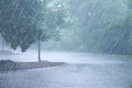
Beyond hurricanes, Florida also experiences frequent heavy rainfall and flooding. GIS mapping can show areas more likely to experience floods due to rainfall and track tornadoes and other weather disasters, showing where they’re likely to form and travel.
Environmental Management and Conservation
Florida conservationists use GIS to analyze important data. GIS mapping is extremely beneficial in the fight against lionfish, an invasive species. Wildlife management officials can better track these dangerous fish by monitoring lionfish locations and measuring the populations of affected species.
Builders rely on data to ensure that new construction is ecologically responsible with GIS mapping. What are some concerns builders and governments may have?
- Protected areas that species like sea turtles and nesting shorebirds call home
- Contaminated soil or shallow water tables at building sites
- Flat terrain causes rainwater runoff problems in areas with large paved surfaces.
Coastal erosion due to climate change is also a huge issue for Florida, and the coastline is set to change rapidly. Lawmakers can make proactive and effective decisions by identifying the most affected areas.
Urban Planning and Development
While environmental concerns are one of the more widespread uses of GIS data, urban planners rely heavily on it. With spatial traffic and population data, urban planners use GIS mapping to evaluate the impact of transportation projects, new infrastructure, and more.
The state’s population has been increasing by around 1% to 2% per year since 2020, and planners must account for this growth in their plans. Locations for buildable land, habitats of endangered species, and proximity to areas of interest and large businesses are all trackable with GIS.
How Accurate Is GIS Mapping?
GIS mapping can be extraordinarily accurate, though the method by which a specific map is created can allow errors to creep in. These errors can be found, eradicated, and prevented with diligence and upkeep.
Factors Influencing GIS Accuracy
These are some common factors that result in faulty GIS maps:
Old Data
Earth is in a constant state of flux. Continents shift, coastlines erode, and animal life increases and decreases in population, among many other changes. When GIS maps use outdated information, they clash with current data and cause inconsistencies.
Restrictions
Incomplete data can be due to restricted access to a given piece of land. It may house a government facility, a private residence, or another property the owners wish to remain concealed.
Human Error
Fastidious surveyors are still humans, and mistakes can happen. Perhaps measurements were made when tools weren’t as precise or the surveyor miscalculated. Simple labeling mistakes can also occur, such as recording wolf populations instead of coyote populations.
Scale
Low-resolution, small-scale maps can’t simply expand to a larger size and retain fidelity. The larger the scale, the more reliable and accurate the map is.
Storage Medium
Density has never been higher for digital storage. When hard drives were measured in megabytes, resolutions were low out of necessity. While that has changed, GIS datasets can be massive, and the storage medium must be chosen carefully.
Budget
Lack of funds will affect the usability of GIS mapping projects. The most accurate data is often expensive, requiring scanners capable of great detail, terabytes or petabytes of digital storage space, powerful computers to render the maps, and more.
Bias
Whether intentional or innocent, bias can and will skew results. Overrepresenting animal populations, underreporting pollution, and obscuring certain topographical features or man-made structures destroy reliability.
Processing Errors
GIS software itself can make errors. While rare, it’s also difficult to spot and requires experienced, knowledgeable users to detect. Geocoding and digitizing processes can also produce flawed results, thanks to operator error.
Enhancing GIS Accuracy
GIS maps can provide a complete overview of a given region to allow planners to make positive changes, but this only happens if the maps represent reality. Fortunately, there are plenty of techniques and advancements that are producing detailed, meticulous maps.
AI
GeoAI is a GIS AI application that makes pattern analysis and research far faster than ever before, transforming how planners handle issues such as traffic congestion.
Drones
Improving the detail of aerial photos is a long-standing goal for GIS, but using drone-collected data improves the credibility of maps. Additionally, drones can collect information on weather, area demographics, and more.
Improving Data Collection
Since GIS mapping still relies on human input, education about collecting and preserving accurate data is essential.
Relying on Real-Time Information
Massive improvements in computing power allow for instant data collection and analysis. Following airline flights, collecting data from cell phone location-tracking, and storing delivery driver route information improve maps.
Using Consumer Data
An app that provides coupons for area restaurants and displays them on a map can collect user data about their routes, transportation methods, how long it takes to travel, and more.
When to Utilize GIS Mapping
Engaging in GIS map creation and updating maps can give a competitive edge to a company looking to collect key information on potential customers. It can also give an environmental group the evidence they need to secure protection for an endangered species.
GIS mapping has applications for nearly every industry and discipline. Whenever an entity gathers data about a given location to make more informed decisions, GIS mapping is one of the primary tools, making GIS professionals and amateurs essential. And yet, not enough people are willing to take on GIS mapping endeavors.
If you’re new to geospatial analysis, you’re not alone. There are several excellent online resources to help you learn more:
You can also use apps like MeetUp to locate GIS groups near you.
Where to Find GIS Mapping Services
Whether you have commercial, governmental, or personal reasons for seeking accurate geodata, you can rest assured that GIS mapping will play a pivotal role in shaping Florida’s future.
You can improve GIS mapping accuracy by partnering with mapping organizations and taking part in data collection. If you’re unsure where to start, contact the experts at AOTC to learn more about our environmental services. With years of GIS mapping experience, AOTC will work with you to get the results you deserve.


